
Texas
Selected ZIP pressure rankings within a 1,436-ZIP eligible state universe.
Read reportWhen the nearby branch is gone, everyday banking becomes a longer journey. Explore how banking access varies across communities—and who faces the greatest pressure.

Illustrative image · Where communities, geography, and everyday banking meet. Map and connecting line are conceptual.
Start with selected national findings, explore population exposure, or follow the Texas reports from state to metro, county, and ZIP. These reports describe geographic banking access; they do not measure whether an individual has a bank account.
These five ZIPs share the highest published pressure rank. Explore 25 selected records from that tied group and see the ranking universe alongside each result.
Search applies to these 5 published rows. Downloads contain all displayed source rows.
| ZIP | State | Pressure | National rank | Percentile |
|---|---|---|---|---|
| 78617 | TX | 100.0 | #1 | 98.70 |
| 86413 | AZ | 100.0 | #1 | 98.70 |
| 92310 | CA | 100.0 | #1 | 98.70 |
| 31052 | GA | 100.0 | #1 | 98.70 |
| 92254 | CA | 100.0 | #1 | 98.70 |
Sponsorship supports publication. Scores and rankings remain independent.
A high exposed-population count and a high exposure percentage answer different questions. Compare both to understand the scale and concentration of estimated exposure.
Selected national rankings by estimated exposed-population count.
Explore Hispanic residents →Selected national rankings by estimated exposed-population count.
Explore Black non-Hispanic residents →See pressure, national position, and estimated exposure across population groups.
Read the ZIP report →Explore the reports currently available, from the statewide ranking to a detailed community profile.
Selected ZIP pressure rankings within a 1,436-ZIP eligible state universe.
Read reportMetro-level context and selected ZIP comparisons.
Read reportCounty-associated ZIPs and estimated population exposure.
Read report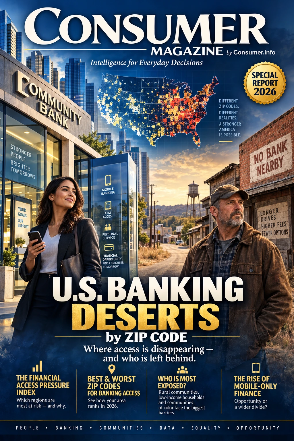
Where access is disappearing—and who is left behind.
A nearby branch can be part of everyday life. This editorial feature asks what happens when banking becomes harder to reach, and why the experience differs from one community to another.
Explore the story at Consumer MagazineEditorial cover artwork. Its illustrated map is not a report data layer; the cover’s 2026 date is not the source observation year.
This edition publishes selected ranking records and a detailed ZIP 78260 profile. The 20,307-ZIP source ranking universe is not a count of individual ZIP reports on this website.